

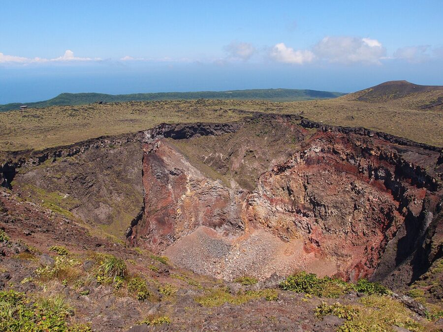

At 16:15 on 21 November 1986 the floor of the caldera on Izu Oshima (伊豆大島) split open along a line of fissures, and fountains of lava rose more than a kilometre into the dusk. An hour and a half later a second fissure opened outside the caldera wall, on the slope above the main town, and lava began to move towards the houses. By the next morning the whole population of the island, about 10,000 people, had been taken off by ship.
They were away for about a month. Forty years later the fissures are a row of rust-red cones beside a footpath, the lava that headed for Motomachi (元町) has long gone cold above the town, and the Japan Meteorological Agency keeps the volcano at Level 1 on its five-step scale. The island is 120 km south of central Tokyo, it is legally part of Tokyo, and you can stand on the rim of the crater that started all of it.
On Oshima the volcano and the holiday cannot be separated. The black beaches, the round harbour at Habu, the camellia oil and the striped road cutting all come out of Mount Mihara (三原山), and the island makes more sense once you know how.

In this guide
A volcano you can walk around
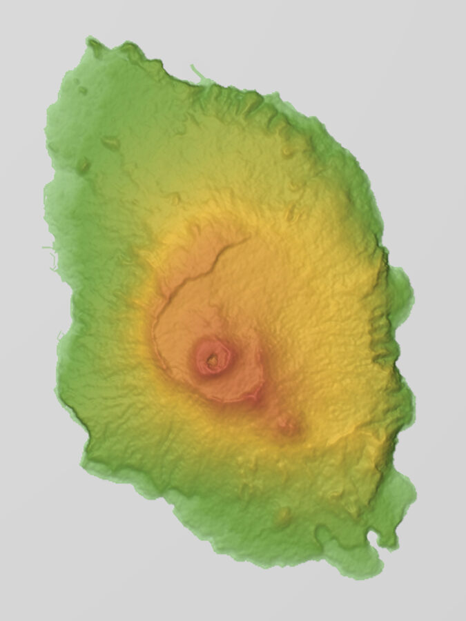
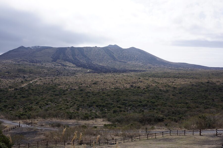
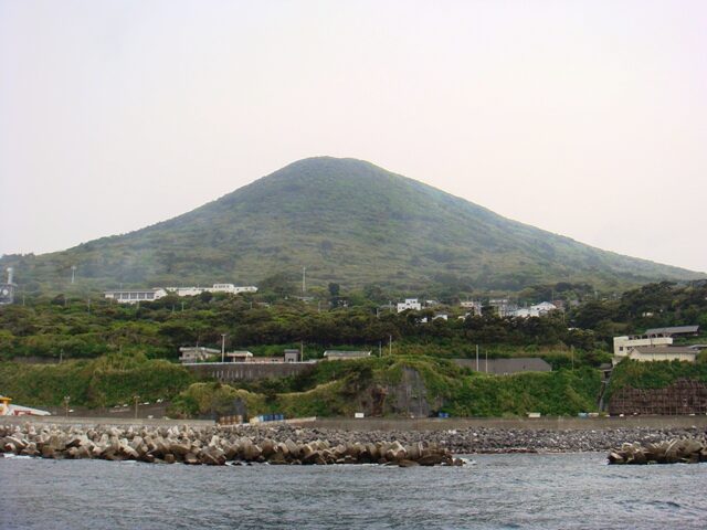
Every part of Izu Oshima is volcano. The island is the top of a basalt cone that rises from 300–400 metres of water, so the whole edifice is about a kilometre high, and the local Geopark’s motto is that the entire island is the active volcano. The highest point, Mihara-shinzan, the “new Mihara” bump on the central cone, stands at 758 metres.

How the island was built
The oldest rock on Oshima belongs to three earlier volcanoes, Okata, Gyojanoiwaya and Fudeshima, whose eroded remains are exposed in the cliffs of the north and east coasts. The present volcano began building over them 40,000–50,000 years ago, first under shallow sea and, from about 20,000 years ago, as a land volcano piling up layer after layer of scoria and lava.
About 1,700 years ago a large steam-driven explosion blew out the summit, and the collapse left the caldera you drive into today, 3–4.5 km across and open to the east. About ten large eruptions have followed, the last of them the An’ei eruption of 1777–1792, which built the present Mount Mihara and dropped more than a metre of ash on the island’s farms.
The other thing to know is the direction. Side eruptions break out along cracks running north-north-west to south-south-east, more than 800 small vents have been identified, and the island has grown long in that direction. One of those vents, a crater from the 9th century, is now Habu harbour.
The 1986 eruption and the night the island emptied
Mihara had been quiet since 1974 when, on 15 November 1986, lava began fountaining inside the summit crater. It filled the pit, spilled over the rim on 19 November and ran down onto the caldera floor. Islanders had always called this glow gojinka, sacred fire, and for a few days it looked like a familiar summit eruption.
Then, on the afternoon of 21 November, earthquakes moved under the north of the caldera and the ground opened. The fissure threw lava fountains over 1,000 metres high and a column of ash and gas past 10,000 metres, and scoria rained over the east of the island. At 17:46 a third set of vents opened on the outer slope above Motomachi, and a lava flow started down towards the town.
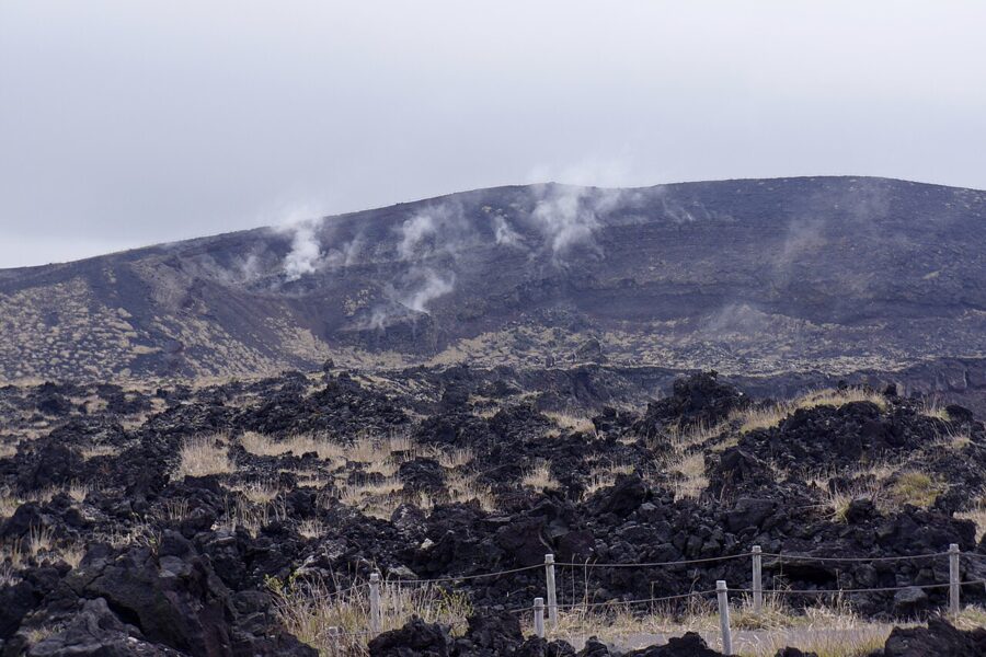

People in Motomachi first moved south to Habu, until new cracks appeared near Habu too and they were sent back. In the end the town ordered everyone off the island, and ships carried about 10,000 people to the mainland overnight. The flow towards Motomachi stopped above the town, and the islanders returned in December. Small eruptions followed until 1990, and the volcano has not erupted since.

The crater rim walk
The walk starts at Mihara-sancho-guchi, the bus terminus and car park on the western rim of the caldera, where a viewing terrace looks straight across at the cone. A paved path drops into the caldera, crosses the 1986 lava and climbs to the crater in about 45–60 minutes.
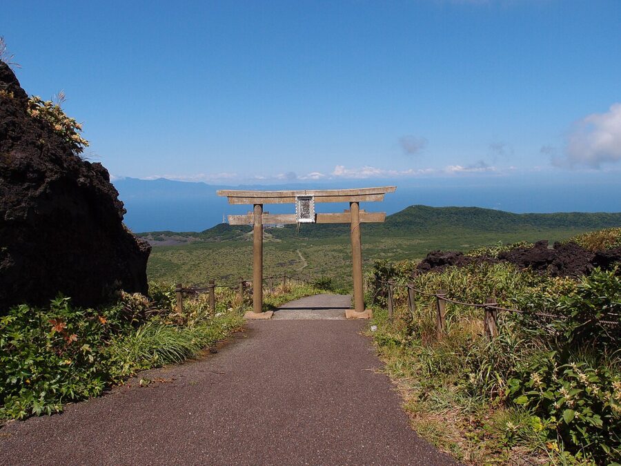

At the top is the ohachi-meguri, the “bowl circuit” round the crater, opened in 1998. Allow a good hour for it. The footing is loose scoria in places, and the path passes steaming vents, the summit marker on Mihara-shinzan and the edge of the pit itself, its walls banded red, yellow and grey by old eruptions. The wind on the rim makes a hat a liability on most days.
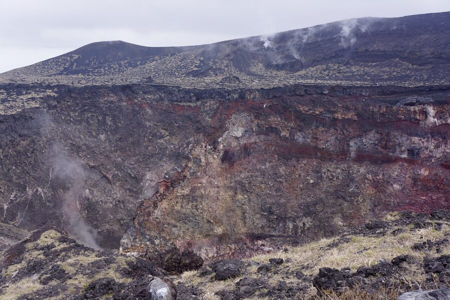

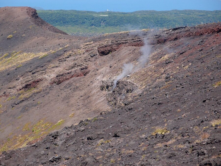

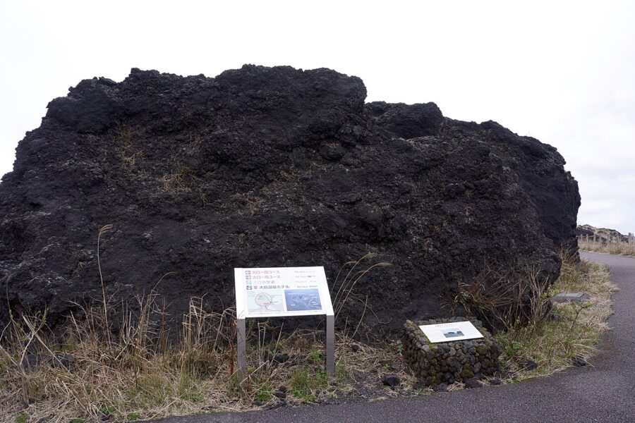
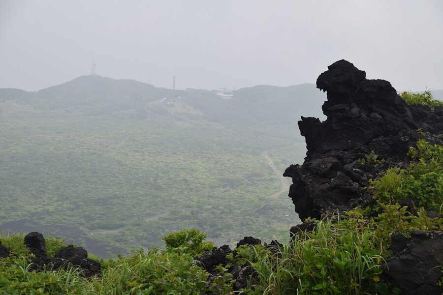
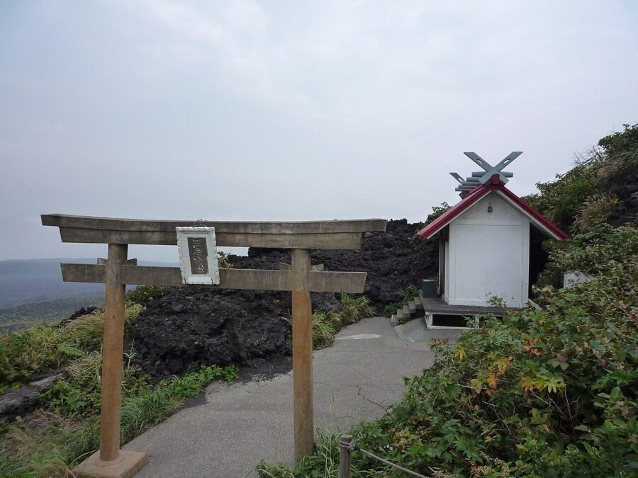
Two landmarks get photographed more than the crater. Godzilla Rock is a spire of lava on the approach path that looks, from one side, like the monster’s head. Mihara Shrine sits on the summit among black lava, and the fact that the 1986 eruption left it unharmed is counted among the island’s seven wonders. On a clear day the view from the rim runs from the Izu Peninsula to Mount Fuji and south down the chain of islands.


Ura-sabaku, the black desert
On the north-east side of the cone the ground turns black and bare and stays that way almost to the outer rim. This is Ura-sabaku (裏砂漠), the “back desert”, scoria and ash from repeated eruptions that the prevailing wind keeps scoured: seeds blow away before they can root, so plants creep in only where a ridge gives shelter.
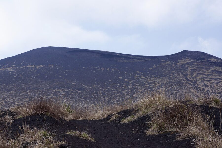

Oshima Town describes Ura-sabaku as the only place labelled 砂漠, desert, on Japan’s national survey maps. Strictly the maps carry two such labels, Ura-sabaku and Okuyama-sabaku, but both are on this volcano, so the claim survives in spirit. The caldera is a special protection zone of Fuji-Hakone-Izu National Park, and no vehicles are allowed in.
The easiest approach is the Tsuki-to-Sabaku Line, a side road on the east of the island; from its car park the first viewpoint is about 0.7 km on foot and the second about 1.2 km. From the car park on the ring road it is about 3 km. There is no bus, and in mist the ground has no landmarks at all. I would not cross it in cloud.
What the volcano is doing now
The Japan Meteorological Agency’s report for October 2026 keeps Izu Oshima at Level 1, “be aware that this is an active volcano”, with weak steam at the summit, few volcanic earthquakes and no tremor. Since 1986 the whole island has slowly swollen as magma collects at depth, though the agency notes that this inflation has been close to stalled since around 2018.
The record is why nobody relaxes. The agency lists medium-sized eruptions in 1912, 1950 and 1986, 36–38 years apart, and the arithmetic puts the next one any time now. That is why the island has seismometers, tiltmeters, GNSS stations and cameras on every flank. Volcanoes have been called in advance before: in 2000 the residents around Mount Usu in Hokkaido were moved out before it erupted.
Check the agency’s page for Izu Oshima before you go, and follow the trail signs if the level ever changes.
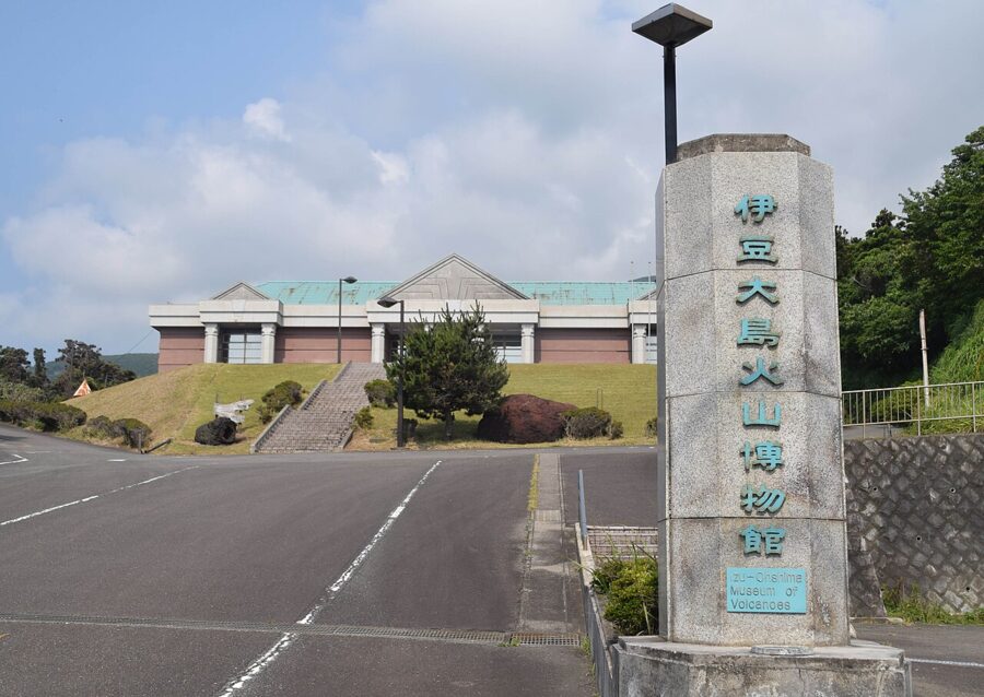

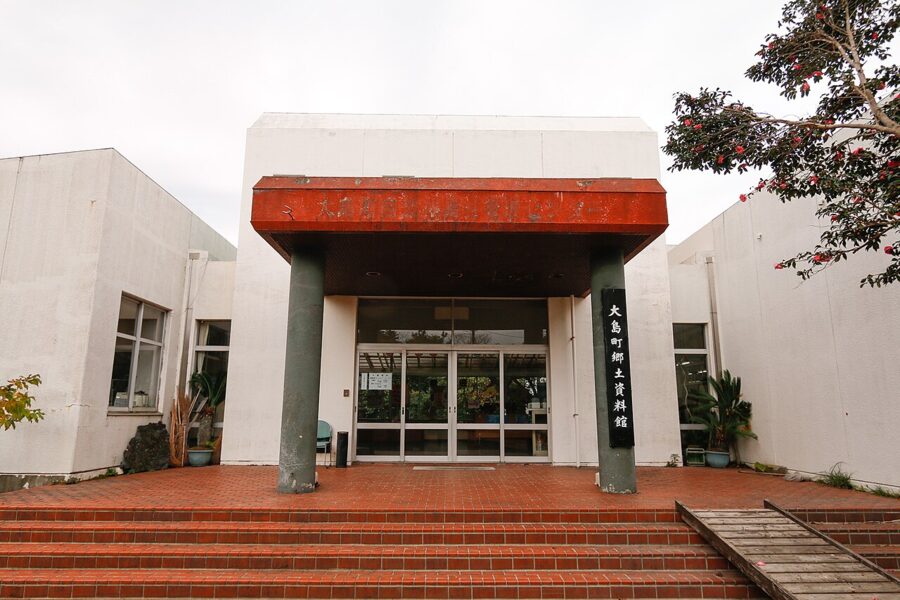
Before going up, spend an hour at Geonos, the Izu Oshima Museum in Motomachi, which took over the old Volcano Museum building in July 2025. It has galleries on the geology, the wildlife and the people of the island, and a short film on the Geopark. Admission is ¥820 for adults; since October 2026 it opens 09:30–16:30 with one closing day a week, and the Habu-bound bus stops outside.
Why the road signs say Tokyo
The Izu Islands (伊豆諸島) belonged to Izu province for most of their history, and after the Meiji reorganisation they went with the peninsula to Ashigara and then Shizuoka Prefecture. Islanders traded with Tokyo, not Shizuoka, and lobbied to change; in 1878 all the islands were transferred to Tokyo. That is why the island’s cars carry Shinagawa number plates and its police belong to the Tokyo Metropolitan Police.
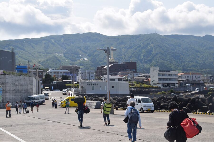

Oshima is the largest and northernmost island of the chain, 91 km2, and only about 25 km from the Izu Peninsula. The single municipality, Oshima Town (大島町), was formed in 1955 by merging six villages: Motomura, Okata, Senzu, Nomashi, Sashikiji and Habu-minato. About 7,200 people lived here in 2021, a third of them in Motomachi.
The name needs a sentence. 大島 means simply “big island”, and Japan has dozens, so the full name adds the old province: Izu Oshima. Signs on the island still write it Ōshima or Ooshima. Locals just say Oshima.
Getting there
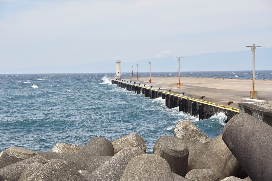
There are three ways across, and the right one depends on how much of a day you want on the island. All three are cancelled in high seas or strong wind, sometimes for days in winter and in the typhoon months, so leave slack in any plan with a flight home attached.
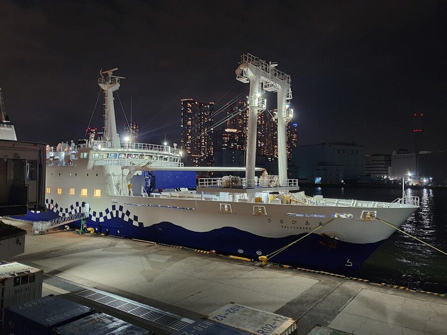
The night ferry from Takeshiba
Tokai Kisen’s large ferry leaves Takeshiba Pier (竹芝), a short walk from Takeshiba station on the Yurikamome line or Hamamatsucho on the JR lines, at 22:00 and reaches Oshima at about 06:00 (05:30 on some days in the winter timetable). It carries on to Toshima, Niijima, Shikinejima and Kozushima. Going back, it leaves Oshima at 14:30 and reaches Tokyo at 19:00 on weekdays, or 19:45 at weekends via Yokohama.
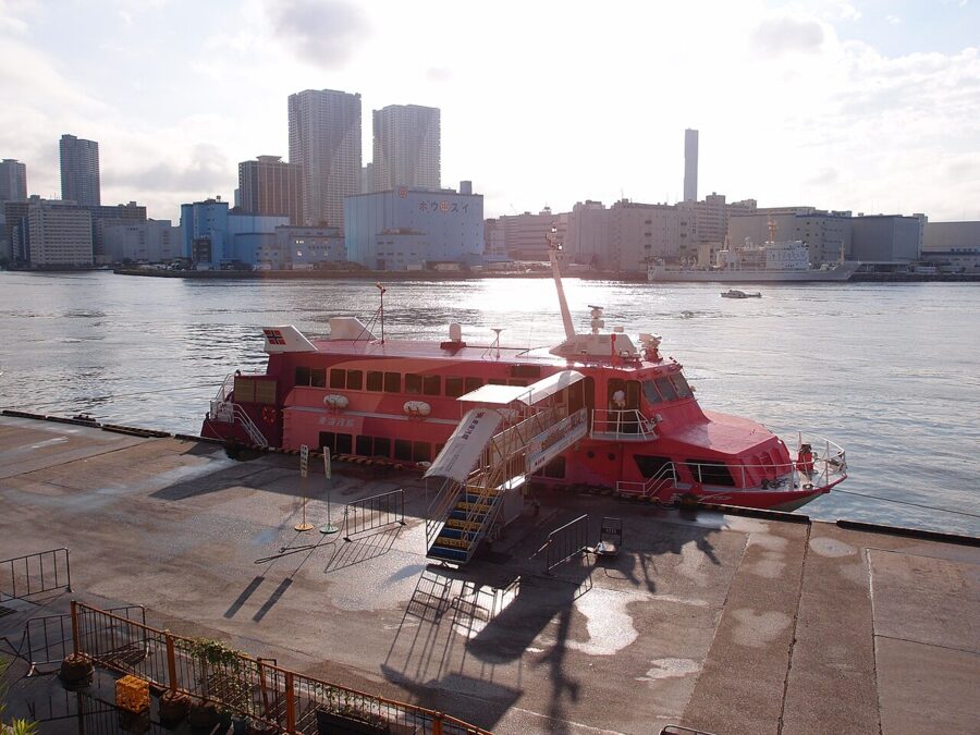

Fares change every month with the fuel surcharge. In November 2026 one-way second class, a numbered space on a shared carpeted floor, cost ¥6,160, a bunk in special second class ¥9,250 and a first-class berth ¥12,320; summer is dearer. I would take the night ferry out and come back by day.
The jetfoil
The jetfoil does Takeshiba to Oshima in about 1 hour 45 minutes. In the winter timetable it leaves Tokyo at 08:35 and 13:25, and Oshima at 10:40 and 14:40; a one-way ticket was ¥9,980 in November 2026. From Atami it is about 45 minutes and ¥6,330 (09:10 out, 15:30 back), and some sailings call at Ito (¥5,300). Inatori, Kurihama and, in February and March, Tateyama get seasonal sailings.
Reservations open two months before the sailing date; book ahead for weekends and the festival. In October 2026 a transport ministry suspension order took part of Tokai Kisen’s fleet off the route for three weeks and other operators’ ships stood in, so check the timetable close to your date.
Flying from Chofu
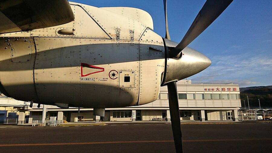
New Central Air flies a 19-seat Dornier 228 from Chofu airfield in western Tokyo to Oshima Airport in about 25 minutes. Most days in December 2026 have two flights each way, leaving Chofu at 09:00 and 14:45 and Oshima at 09:50 and 15:35. The normal one-way fare is ¥13,800, or ¥25,100 return outside the holiday peaks. Bookings open one month before the flight.


Getting around and where to stay
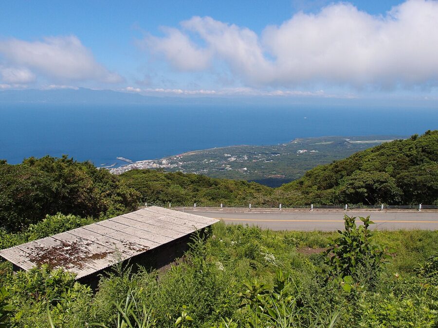
The coast is about 50 km round, with the sights spread along it and up on the mountain. Distances are short; hills and wind are not.
Buses, bikes and cars
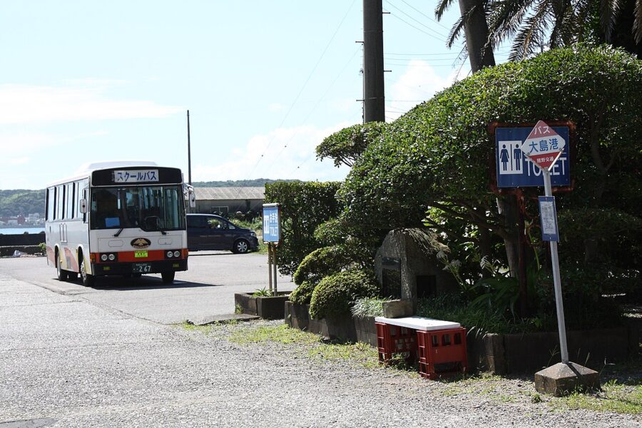
Oshima Bus runs three lines: the Oshima Park line round the north via Okata and the airport, the Habu line down the west and south coasts, and the Mihara line to Mihara-sancho-guchi. A one-day pass is ¥2,500 and a two-day pass ¥3,800; single fares are paid on leaving, in cash or by PayPay. Buses meet the early ferry, but otherwise they do not wait for ships or planes.
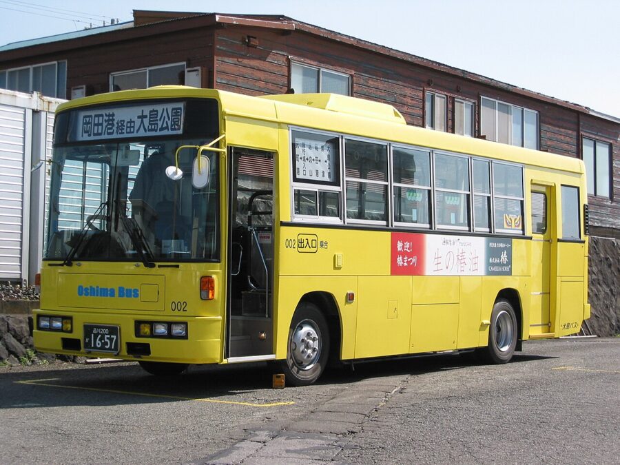

The mountain is the awkward part. Between October and early February the Mihara line runs only at weekends, on public holidays and over New Year, with three buses up (the first at 08:20 from Motomachi) at ¥1,090. On a winter weekday the summit means a car or a taxi. Taxis do not cruise; they wait at the ports and the airport, and a two-hour charter in a standard car was listed at ¥13,320.
Car hire is the practical choice for a first visit, and the ring road is easy driving. A 50 cc scooter costs about ¥4,000 a day, and several shops near Motomachi Port hire bicycles. Cycling the coast is pleasant; cycling up to the caldera from sea level is a serious climb.

Motomachi, Okata, Habu or the mountain
Motomachi is the base I would choose. It has the main port, the supermarkets, both public baths and most restaurants, it is on all three bus lines, and the coast faces west for sunsets over the Izu Peninsula. Hotel Shiraiwa, on the rise above the port, has a hot spring that, the hotel says, began flowing in the 1986 eruption.
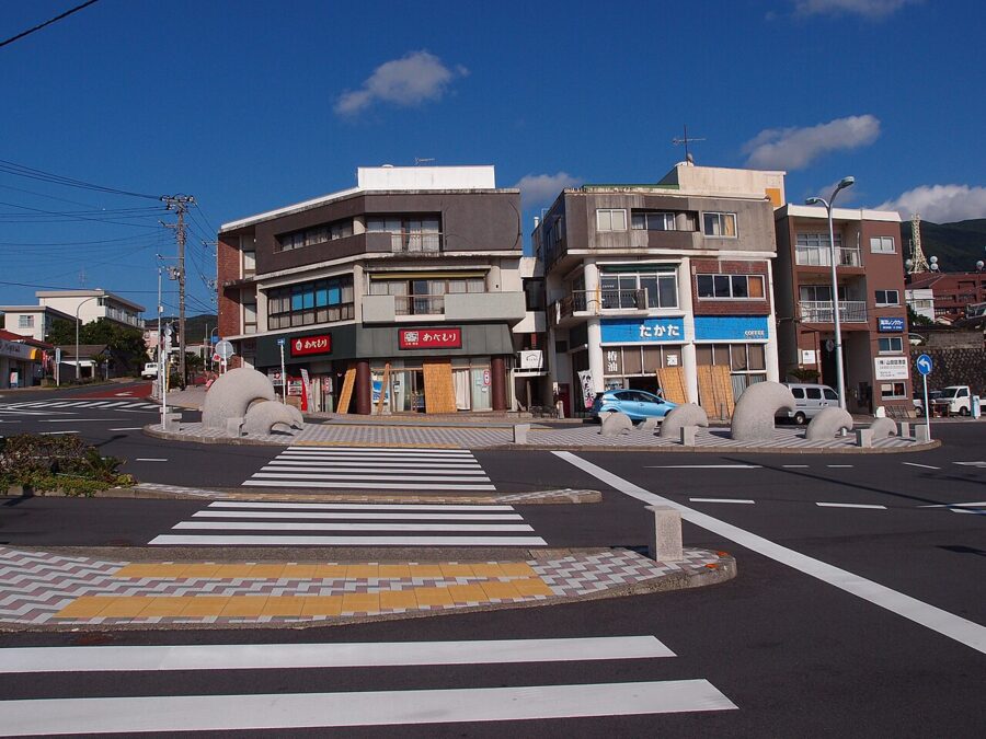

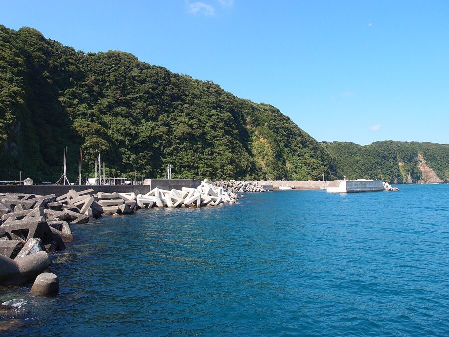
Okata (岡田), on the north coast, is a fishing harbour with family-run inns near the beaches of Nodahama and Akinohama, and divers stay here. Habu (波浮), at the southern tip, is the quietest base and the most interesting to wake up in. A handful of its old houses have become small inns, among them Stay Do, Rohan, which is built around books, and Gojuban, a three-storey wooden building on the old main street let to one group at a time.

The fourth option is the mountain. Oshima Onsen Hotel stands on the north-east slope inside the national park, with an open-air bath that looks through the trees to Mihara and nothing to spoil the stars at night. Buses timed for the early ferry run to its door.
Beyond the crater
The coast and villages fill a second day easily, and most of what you see there is the volcano again, approached from the side.
Camellias and the camellia festival
The wild camellia, yabu-tsubaki, grows all over the island, planted as windbreaks round fields and houses and pressed for oil for centuries. Tokyo Metropolitan Oshima Park, on the east coast, holds one of the largest camellia gardens in Japan: about 7 hectares with roughly 1,000 cultivars, 3,200 cultivated trees and 5,000 wild ones, and a small Camellia Museum.
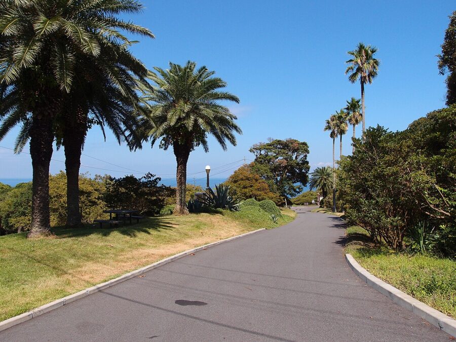

The park, Oshima High School’s camellia garden and the privately run Tsubaki Hana Garden all hold the International Camellia Society’s title of International Camellia Garden of Excellence; the high school was the first school in the world to apply. Tsubaki Hana Garden, on the slope above Motomachi, is known for early-flowering varieties and a lawn with a view of Fuji.
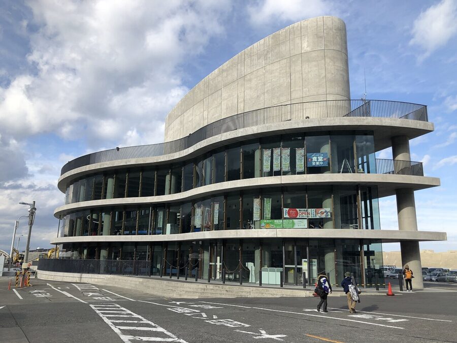
The Izu Oshima Camellia Festival runs from about late January to late March. The 71st ran from 1 February to 22 March 2026, with a stage at the Motomachi Port passenger building for the island drumming called Gojinka-daiko and for hand dances. Women dress as anko, in the island’s old working costume of kasuri-patterned kimono, apron and headscarf; the name comes from a dialect word for an elder sister. The 2027 dates had not been announced in November 2026.

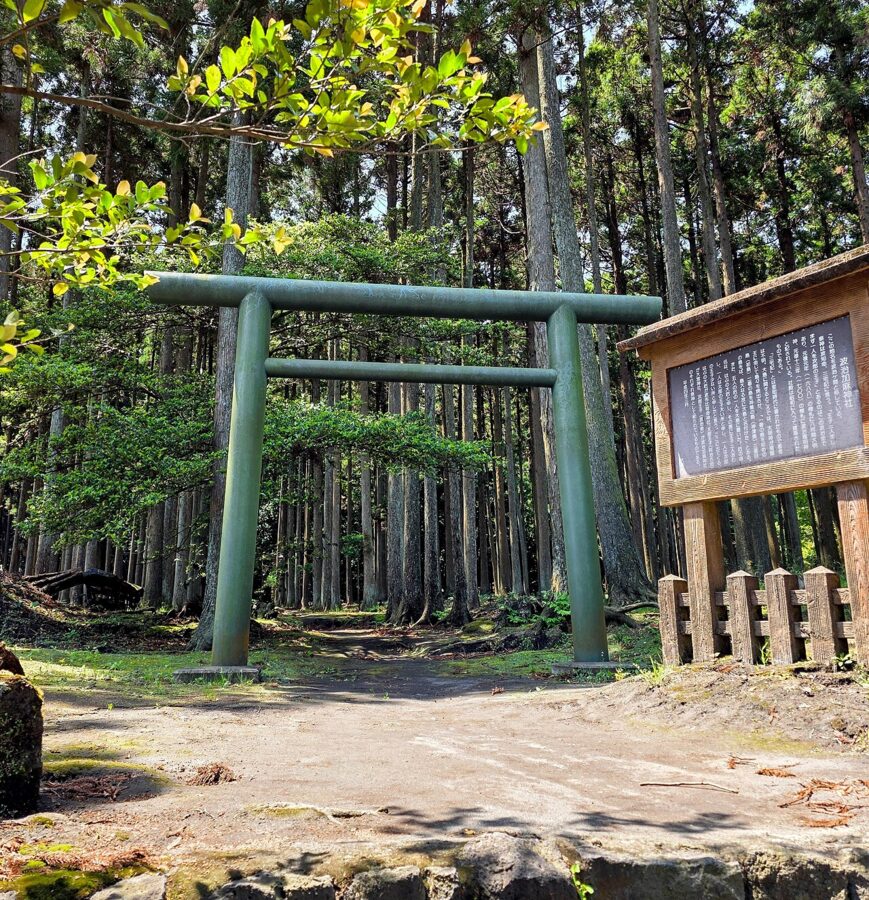
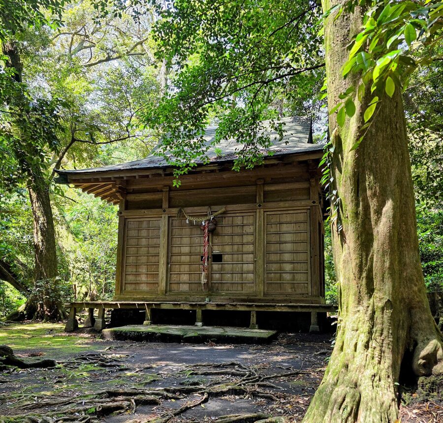
Two smaller sights in Senzu, in the north-east, belong with the camellias. The Tsubaki Tunnel is a stretch of road about 100 metres long roofed over by old camellia trees. Hajikama Shrine, one of three shrines on the island in the 10th-century Engishiki register, stands in a cedar wood near the end of the lava flow of 1778.


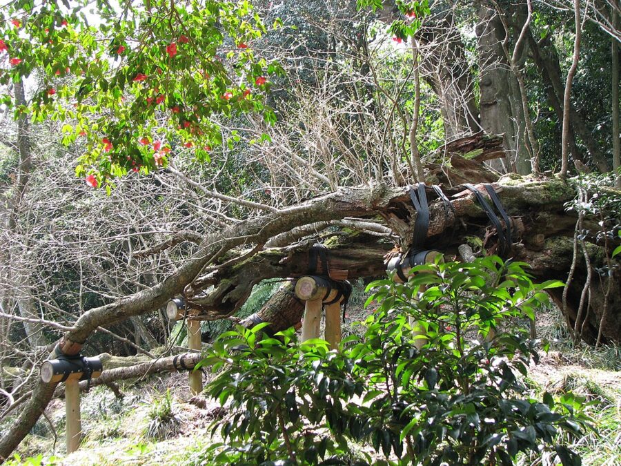
Nearby, the Sakura-kabu is the oldest and largest Oshima cherry on the island, said to be more than 800 years old and a Special Natural Monument since 1952. The trunk broke long ago, and branches that touched the ground have rooted into a sprawling ring. The Oshima cherry is one of the parents of Somei-yoshino, the cherry in every park in Japan, which gives this ragged tree a large family.

The Great Road Cut
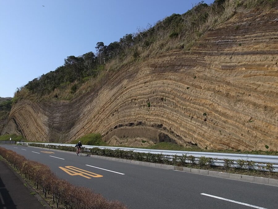
When the ring road was cut along the south-west coast in 1953, the builders sliced through the flank of the volcano and exposed the Great Road Cut (地層大切断面), a wall of striped ash and scoria about 30 metres high and more than 600 metres long. Locals call it the Baumkuchen. Each band is the fallout of an eruption: more than 100 in about 20,000 years, with the large ones roughly every 150–200 years.
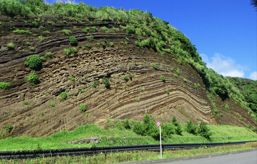

The curves look like folding, but they are not. The ash fell over existing ridges and gullies and draped them, and the cutting shows that old relief in section. The Habu-line bus stops in front at Chiso-danmen-mae, about 20 minutes and ¥390 from Motomachi. Stay outside the guard rail: the strip below the face is there to catch rockfall.

Habu
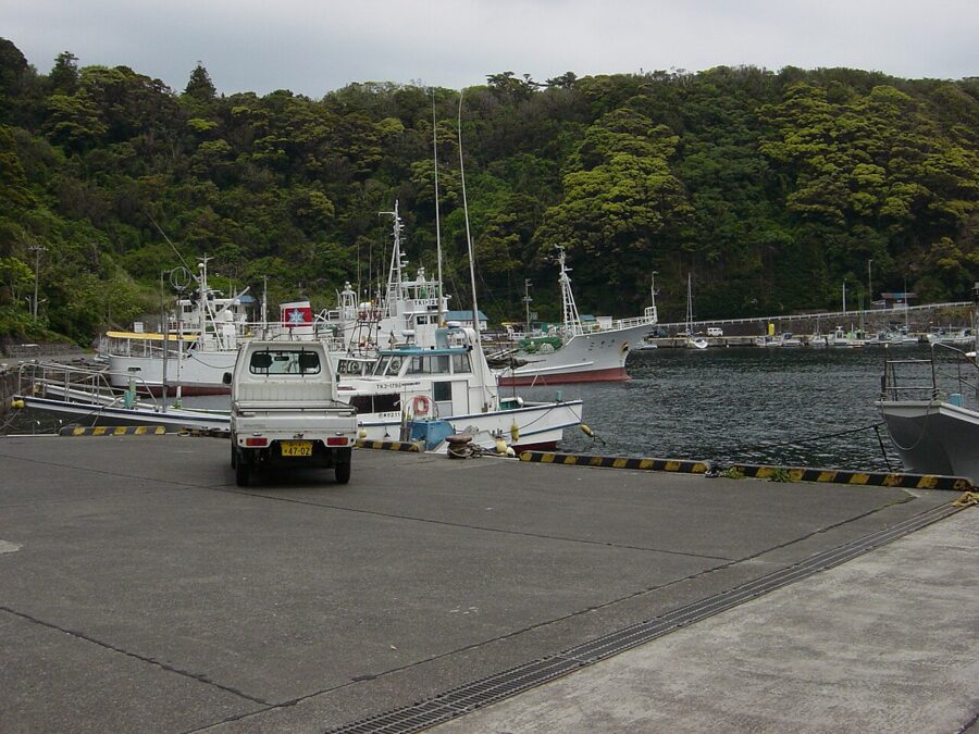
Habu harbour is a volcanic crater. A side eruption in the 9th century blasted a round hollow near the shore, which became a crater lake. The tsunami of the Genroku earthquake of 1703 broke through to the sea, and in 1800 Akihiro Heiroku had the cliff at the mouth cut back to make a navigable entrance. The result was a harbour so sheltered that ships bound south waited out the weather here.

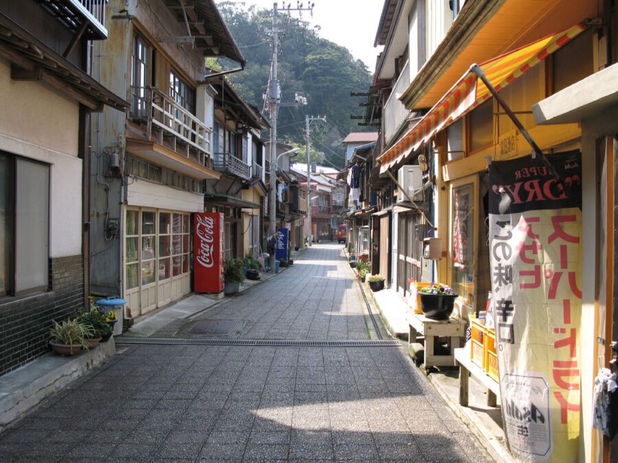
In the early 20th century Habu was a waystation for the deep-sea fishing fleets, and the old street behind the harbour keeps its Taisho-era buildings. In 1928 the song “Habu no Minato” by the poet Noguchi Ujo and the composer Nakayama Shinpei made it famous across Japan. Kawabata Yasunari’s story “The Dancing Girl of Izu” drew on a troupe of travelling entertainers who lived on Oshima.

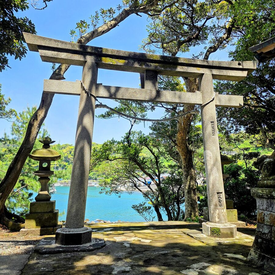
Two buildings there are open free every day, 09:00–16:00. The former Minatoya Inn, where the troupe performed, is now a small museum; the former Jinnomaru residence is a Meiji-era fishing family’s house whose upper floor raised silkworms. By the harbour mouth stands Habuhime-no-Mikoto Shrine, another of the Engishiki shrines.
Fudeshima and the old volcanoes
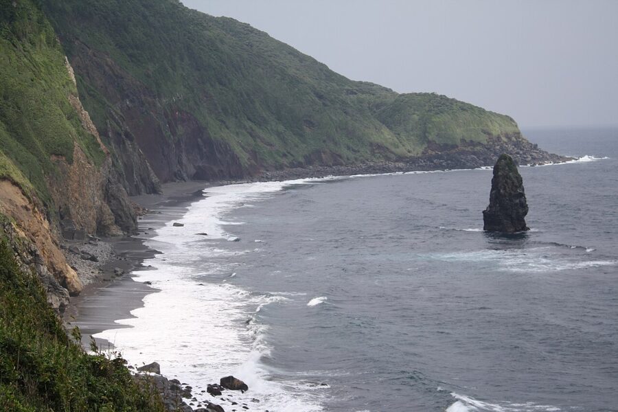
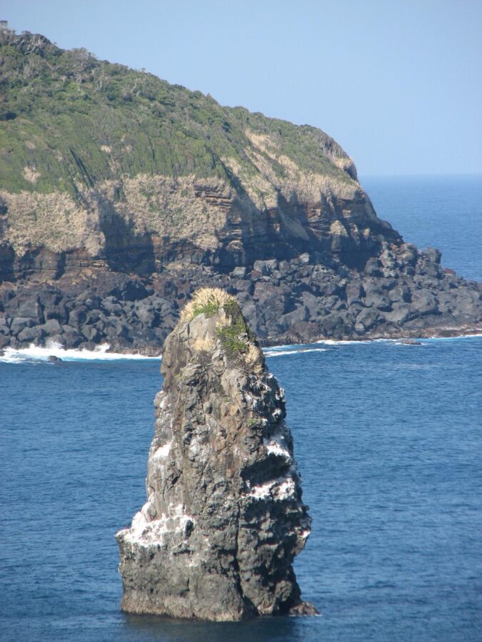
North of Habu the east coast is a line of high cliffs, and off it stands Fudeshima (筆島), “brush island”, a stack about 30 metres high shaped like the tip of a writing brush. It is the hardened throat of the Fudeshima volcano, one of the three that came before the present Oshima, active between about a million and a few hundred thousand years ago. The sea has worn away the rest.


Hot springs
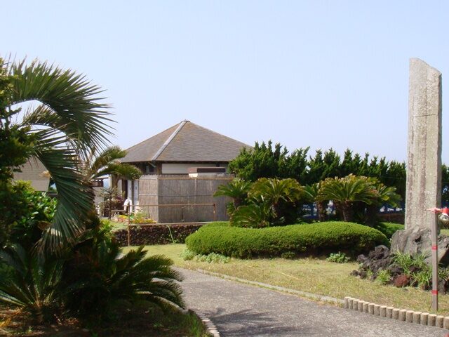
Motomachi Hama-no-yu, three minutes’ walk from Motomachi Port, is an open-air bath on the shore facing the Izu Peninsula. It is mixed, so swimsuits are worn, there is no indoor bath, and it opens 13:00–19:00 (from 11:00 in July and August). At sunset it is the best seat on the island.

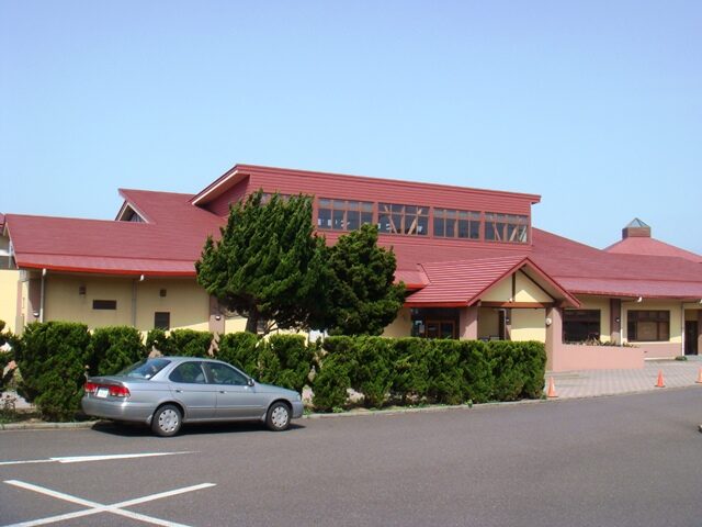
Ai-land Center Gojinka Onsen, five minutes from the same port, is the indoor alternative, with separate baths for men and women at ¥710. It opens at 06:30 on mornings when the night ferry comes in, otherwise at 09:00, and closes at 21:00; it is shut on Thursdays and the second Wednesday of the month. A three-day pass at ¥1,520 also covers Hama-no-yu.

The sea
The Kuroshio current runs past the island, keeping the water warm for the latitude and bringing turtles and hammerhead sharks; Indo-Pacific bottlenose dolphins are seen along the coast. Diving concentrates on Akinohama and Nodahama on the north coast near Okata, and on the Toshiki coast in the south-west, where lava rock encloses sheltered pools popular for snorkelling.
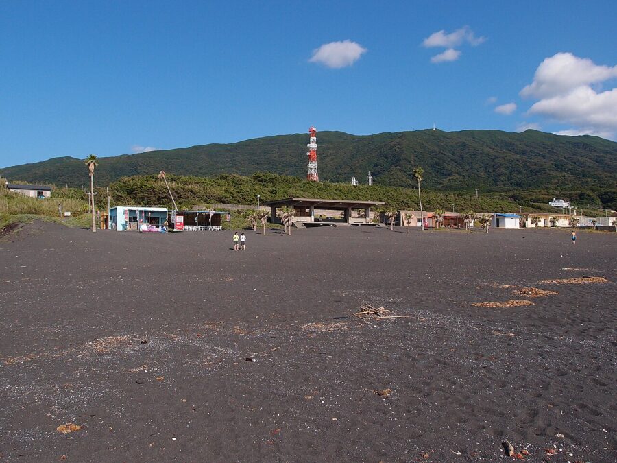

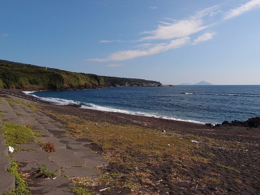
Sanohama, on the south-west coast below the Takenohira scoria cone, is a long beach of black sand and a Geopark site in its own right. Swimming is a July–August affair. Outside the guarded beaches the coast is rocky and the swell comes straight in from the Pacific, so use a local guide for anything beyond paddling.

Island food and things to take home
The dish to eat is bekko, slices of white fish marinated in soy sauce with the island’s green chilli, which turns the flesh the amber of tortoiseshell, bekko in Japanese. It comes as sushi or as a rice bowl, bekko-don. Sushi Mitsu, by Motomachi Port, serves it with a harbour view; Ozeki-zushi, by the Shimoji bus stop in Sashikiji, is the place in the south; and Zakoya Kiyomaru in Motomachi cooks the local fish that rarely reach Tokyo.
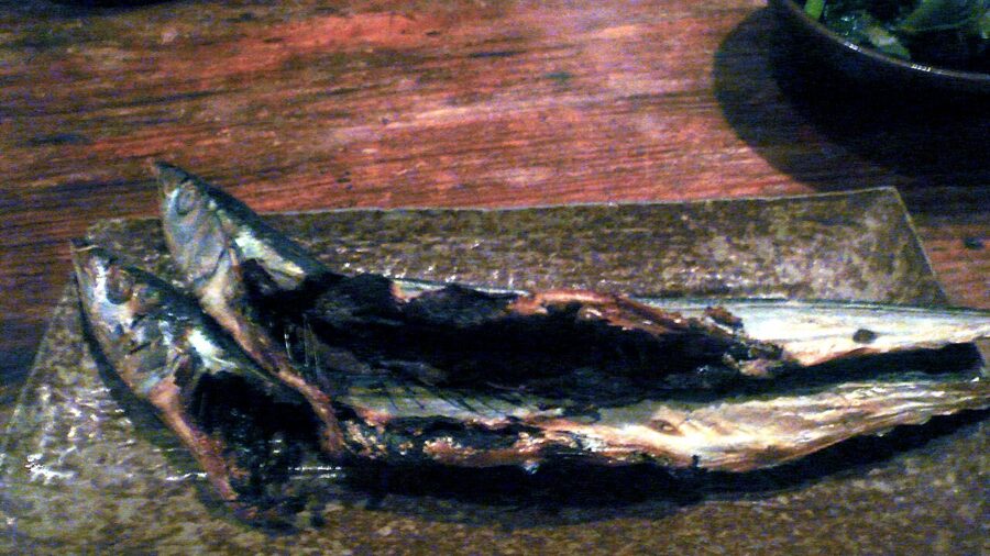

The other island tastes are kusaya, the fermented-brine dried fish of the Izu Islands, sold vacuum-packed by makers in Habu and Sashikiji, and ashitaba, “tomorrow’s leaf”, a coastal plant that regrows so fast it is said you can pick it again the next day. On Oshima it comes as tempura, in soba and in ice cream. Taniguchi Shuzo in Nomashi distils the island’s shochu.
Dairy farming was big here a century ago, with about 1,200 milking cows in 1926, and it left two habits. Oshima Milk still bottles milk in Okata, and Burat House, the farmers’ market near the airport, sells it as gelato alongside local vegetables, 09:00–16:00. Then there is gyunyu senbei, thin milk biscuits that Ebisuya in Motomachi has baked by hand since 1955.
Camellia oil is the souvenir that makes sense. The Oshima Tsubaki factory in Motomachi, founded in 1927, is the origin of the yellow-boxed brand sold across Japan and runs its only direct shop here. Takada Seiyujo presses dried wild camellia seed by a traditional method, and Abemori, a souvenir shop near the port, still uses a camellia oil label registered in 1913. The other big producer in Japan is the Goto Islands off Kyushu.
History beyond the volcano
For more than a thousand years Oshima was somewhere to send people. The chronicles record that En no Gyoja, founder of the mountain ascetic tradition, was exiled to the Izu islands in 699, and a later chronicle names Oshima. Minamoto no Tametomo, the archer of the Hogen Rebellion, was sent here after 1156; legend has him escaping south and fathering Shunten, the first king of Ryukyu, a story told in the royal chronicles of what is now Okinawa.
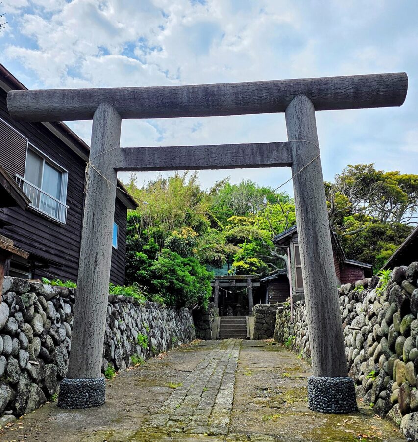

Under the Tokugawa shogunate the exiles kept coming: the Christian Julia Ota in 1612, sons of the Ako ronin in 1703, monks of banned Buddhist sects. Ferrying convicts was a burden the islanders paid to be rid of, and Oshima stopped receiving exiles in 1766. Taxes were first paid in salt, since there were no rice fields; from 1816 fast boats crewed by island men took fish straight to Edo, and fishing became the island’s living.

The modern island was made by steamers. Regular sailings from Tokyo began in the 1900s, painters and writers followed, and after “Habu no Minato” in 1928 Oshima became the capital’s holiday island. The same years brought darker fame: in 1933, after the press made a sensation of two schoolgirls who leapt into the crater weeks apart, 129 people took their lives there that year. In 1957 an explosion at the crater killed one sightseer and injured 53.
Disasters have shaped Motomachi in particular. On 9 April 1952 the Japan Air Lines airliner Mokusei-go flew into the mountainside about 1 km east of the crater in rain and fog, and all 37 on board died. In 1965 a fire near Motomachi Port burned 418 houses and left 1,311 people homeless.
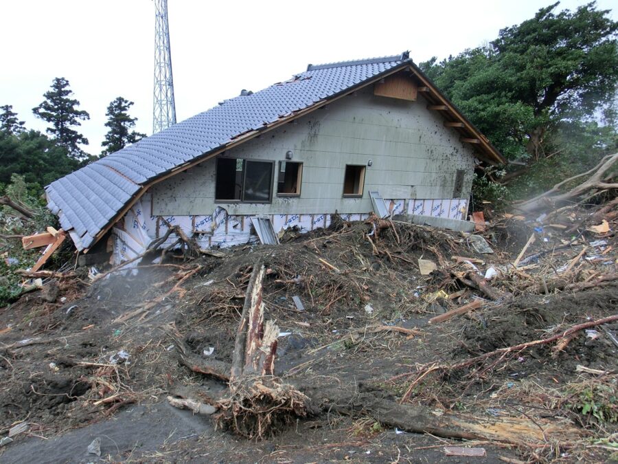
Then, on 16 October 2013, Typhoon Wipha dropped 824 mm of rain on the island in 24 hours. A stretch of the outer slope about 950 metres wide collapsed above Motomachi, and a debris flow ran 1.2 km down through the Kandachi district and Motomachi 3-chome. Thirty-six people died and three were never found.

The island’s response was to understand itself better. In 2007 Izu Oshima was named among Japan’s 100 geological sites, and in September 2010 it became a Japanese Geopark, the first in the Kanto region. The Geopark trains local guides, runs Geonos and signposts the sites along the roads and trails. On 12 and 13 December 2026 it holds a festival for the 40th anniversary of the 1986 eruption.
The rest of the Izu Islands
Nine of the Izu Islands are inhabited: Oshima, Toshima, Niijima, Shikinejima, Kozushima, Miyakejima, Mikurajima, Hachijojima and Aogashima, strung out over several hundred kilometres to the south. Oshima is the gateway to the northern group. The morning jetfoil from Tokyo carries on from Oshima at 10:30 to Toshima, Niijima, Shikinejima and Kozushima on its operating days, reaching Kozushima at 12:15.

Who goes where is fairly settled: Toshima is for walkers and camellias. Niijima and Shikinejima draw surfers, beach campers and people who want hot springs on the rocks. Kozushima is known for clear water and Mount Tenjo, a flat-topped rhyolite mountain with walking routes. From Oshima the jetfoil was ¥3,700 to Niijima and ¥4,330 to Kozushima in November 2026.
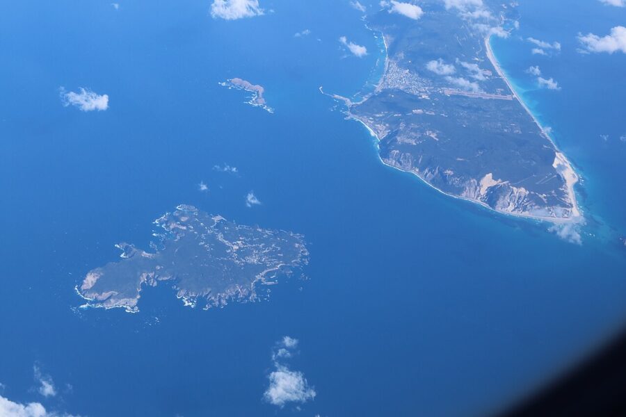

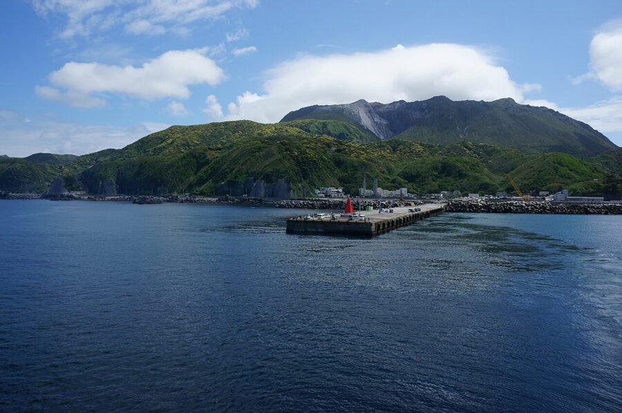

The southern islands are a different trip. Miyakejima, Mikurajima and Hachijojima are served by a separate night ship from Takeshiba at 22:30 and by air: New Central Air flies Chofu to Miyakejima, and flights from Haneda serve Hachijojima. Miyakejima’s eruption in 2000 forced an evacuation of more than four years, which puts Oshima’s month in 1986 in proportion. A small helicopter service links Oshima, Toshima and Miyakejima.

One day, two days, and when to come
One day. Take the 08:35 jetfoil from Takeshiba, arriving 10:20. On a winter weekend the 10:40 Mihara-line bus leaves from whichever port you landed at, and the 13:30 bus down from the summit car park reaches the departure port in time for the 14:40 jetfoil (on a weekday, hire a car or book a taxi for the same run). The volcano gets under three hours and the coast none, but it works.
Two days. Take the 22:00 ferry out and bathe at Gojinka Onsen when it opens at 06:30. Spend the morning at Geonos and the afternoon on the mountain, crossing to Ura-sabaku if the weather is clear, and sleep in Motomachi or Habu. On the second day take the south coast: the Great Road Cut, Habu, the viewpoint over Fudeshima, then Oshima Park on the way north, and fly back or take the afternoon jetfoil.

The camellia season, late January to March, is the island’s high season and the one I would pick, with the festival on and the wind at its coldest. The Oshima cherries follow in March and April. July and August bring swimming, extra jetfoils and full ferries, and August to October is typhoon season, when crossings are most often cancelled.
Late autumn is quiet and mild, with the yearly mean temperature around 16°C. Pack a rain jacket in any month: Oshima gets more than 2,800 mm of rain in an average year, nearly twice Tokyo’s total.

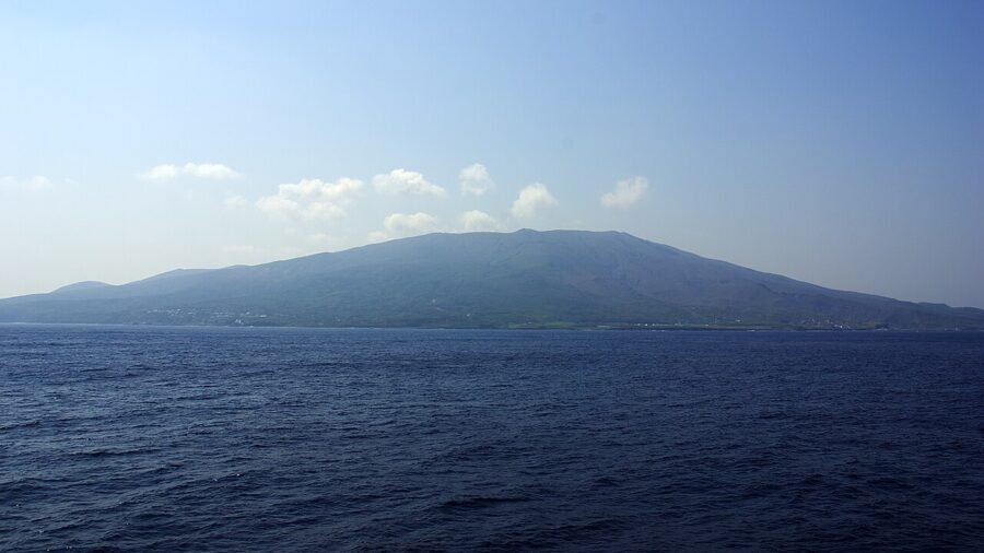
If you can, leave in the afternoon. The 14:40 jetfoil pulls away, and from its deck the island shrinks to a single dark mountain with a thin plume of steam over the top. That is Mihara. You have walked across its 1986 lava and looked into the pit, and the 10,000 people who left by ship one November night are back at its foot, watching the instruments.